Based on XMapTools 4.5 embedded documentation – Help file version 11.01.2024
This page describes the tools available in the Options section.
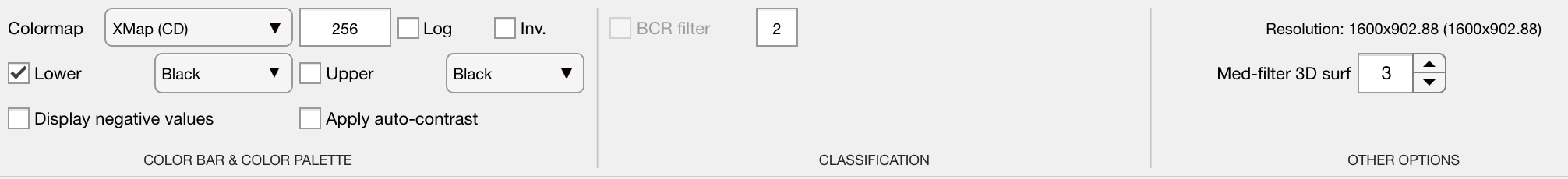
Figure 1: Option tools in XMapTools.
Use these options to change the colour palette, change the resolution of the colour map (number of colours), change the scale of the colour bar to logarithmic and add a black or white layer at the bottom and/or top of the colour palette.
![]() Set the colour palette to be used for the colour bar throughout XMapTools.
Set the colour palette to be used for the colour bar throughout XMapTools.
The recommended colour palettes are largely inspired by www.ColorBrewer.org by Cynthia A. Brewer, Geography, Pennsylvania State University. The following abbreviations are used in the drop-down menu: Colourblind friendly (C), Linear (L), Divergent (D) and Print friendly (P).
Default palettes:
- XMap (default), Spectral, SingleRed, Frenchy, Fruity, Ocean, Forest, Winter 2021, Blues, Reds, B&W, Horizon, Watermelon, Purples
Scientific colour maps by Simon Garnier (viridisLite):
- VIRIDISLITE plasma, viridis, inferno, magma
Scientific colour maps by Fabio Crameri:
- SCM Acton, Bam, Bamako, BamO, Batlow, BatlowK, BatlowW, Berlin, Bilbao, Broc, Buda, Bukavu, Cork, CorkO, Davos, Devon, Fes, GRayC, Hawaii, Imola, Lajolla, Lapaz, Lisbon, Nuuk, Oleron, Oslo, Roma, RomaO, Tofino, Tokyo, Turku, Vanimo, Vik
![]() Check the Log (Use a log colormap) box to set a logarithmic axis for the colour bar. If this option is not selected, a linear scale is used instead.
Check the Log (Use a log colormap) box to set a logarithmic axis for the colour bar. If this option is not selected, a linear scale is used instead.
![]() Sets the number of colours used in the colormap (i.e. the resolution of the colour bar). Colour palettes defined with more colours are resampled. The default value is 256.
Sets the number of colours used in the colormap (i.e. the resolution of the colour bar). Colour palettes defined with more colours are resampled. The default value is 256.
![]() Adds a black or white layer at the bottom (lower) and/or top (upper) of the colour palette. When selected, the layer can be set to either black or white in the corresponding drop down menu.
Adds a black or white layer at the bottom (lower) and/or top (upper) of the colour palette. When selected, the layer can be set to either black or white in the corresponding drop down menu.
![]() If selected, negative values are displayed in the plotted map. By default, XMapTools ignores negative values in plots.
If selected, negative values are displayed in the plotted map. By default, XMapTools ignores negative values in plots.
The Apply Auto Contrast option activates automatic contrast enhancement each time a new map is displayed.
![]() Defines the value of the median filter to be applied when plotting a new 3D surface (see main menu Edit > Plot 3D surface). Changing this option will not update plots already generated.
Defines the value of the median filter to be applied when plotting a new 3D surface (see main menu Edit > Plot 3D surface). Changing this option will not update plots already generated.
This is the current resolution of the programme. Please submit this value if you are experiencing display problems with XMapTools.